Final feasibility study for project expected by end of year
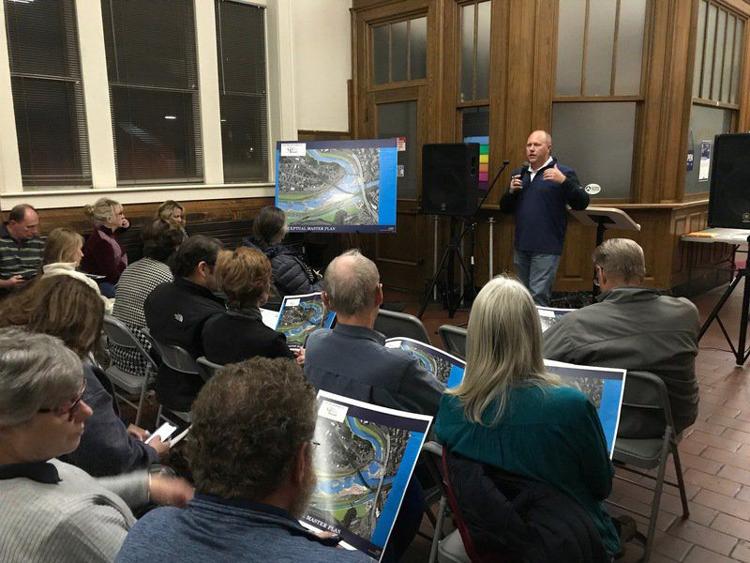
CUMBERLAND ‘” Members of the public were able to view a completed color map showing the numerous attractions planned for the proposed River Park at Canal Place.
Jim Christie, landscape designer with Civil & Environmental Consultants, Inc., unveiled the conceptual master plan during a public meeting Monday at the Western Maryland Railway Station.
Christie said much of the Potomac River is traveled by kayak, canoe and hikers.
‘We have one missing link … and that is Cumberland,’ said Christie. ‘This area has not been able to take advantage of this incredible resource that runs through the heart of the town.’
The river park would be located on the North Branch of the Potomac River behind Canal Place. Features would include two access points for boaters, a whitewater course, riverside trail, viewing area, parking and a fish passage ladder.
Christie said the attraction can work with or without the presence of the industrial dam located under the blue bridge between Maryland and West Virginia. He said a likely scenario would be to reduce the height of the dam about 2 feet. The purpose would be to reduce the water level behind the dam just enough to create more shoreline along the water’s edge.
The master plan showed four eddies, or pools, created behind the attraction’s rock barriers. The first pool would be just below the dam with three more further south on the river.
Christie said the plan for the river park is taking shape at a time when many projects at the location are coming together. Other projects in Cumberland include a $90 million state-approved plan to end combined sewer-stormwater overflows into the river. A storage tank and pipeline system are being installed along the river at Cumberland to prevent effluent from being dumped into the river.


